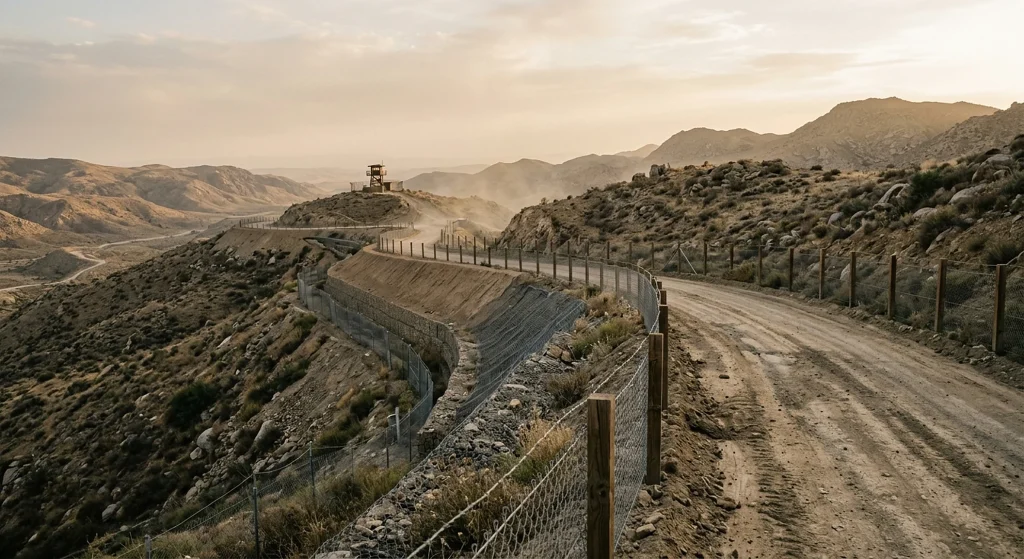
“Sufa 53” is the common name for Israel’s military and engineering project running from northern Quneitra to its south, along the Golan Heights; most of the area is Syrian territory occupied in June 1967. The project is not a political border but a military road reinforced with earthen berms, trenches, positions, and observation points; some sections were built inside the buffer zone established by the Disengagement of Forces Agreement signed in 1974.
The name comes from “sufa,” which means “storm” in Hebrew, and from the 53rd Sufa Armored Battalion, part of the 188th “Barak” Brigade; however, there is no document confirming that the Israeli military has officially adopted this name.
Work began in 2022, before the Assad regime was toppled in December 2024. Following the regime’s fall, Israel expanded its presence in the buffer zone and deployed to new positions, including Mount Hermon.
The line is approximately 70 kilometers long; in some sections the road is about eight meters wide. The route begins near the town of Hadar at the foot of Mount Hermon, passes through or near the following settlements, and extends to the southern tip of Quneitra and the border triangle between Syria, Jordan, and the Golan Heights:
- Cabata el-Haşab
- el-Hamidiye
- el-Kahtaniye
- Ruvayhina
- Bir Acem
- Barika
- el-Aşa
Background
Israel is not a new name in the FikirPilot archive: over the last 90 days we have published 22 stories mentioning this name; the most recent is dated October 6, 2026.