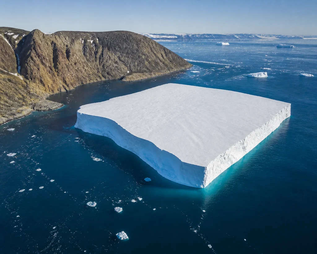
A large tabular iceberg that broke off Petermann Glacier in northwestern Greenland in August 2026 became lodged against Joe Island as it moved from the glacier’s fjord toward the Nares Strait. Images captured by NASA’s Landsat 9 satellite on August 23 and 24 showed that the iceberg had turned around the side of the island and entered the strait.
The iceberg, measuring approximately 76 square kilometers (29 square miles), was comparable in size to the island of St. Thomas in the U.S. Virgin Islands. The calving was the largest ice breakup at any Arctic glacier since 2020. Because Petermann is one of the major marine-terminating glaciers controlling the movement of ice from the Greenland Ice Sheet into the ocean, changes in its stability are important for sea-level rise.
The event was noticed on August 4 in European Space Agency Sentinel-1 images by Adam Garbo, a doctoral student in glaciology at the University of Ottawa. Garbo and his international team were monitoring the glacier using remote-sensing methods. The new ice island was smaller than the 130-square-kilometer fragment that broke off in 2012; previous major breakups measured 31 square kilometers in 2008 and slightly more than 250 square kilometers in 2010.
The researchers said that two large cracks could eventually produce new ice islands measuring approximately 94 and 84 square kilometers, although the timing remains uncertain. Glaciologist Mauri Pelto of Nichols College also tracked the iceberg using Landsat imagery.
Why It Matters
This breakup cannot be regarded merely as the displacement of a single iceberg, because Petermann Glacier is one of the marine-terminating glaciers that carries ice from the Greenland Ice Sheet into the ocean. Such a breakup requires monitoring changes in the glacier’s stability; its connection to sea-level rise depends on how ice loss continues. Satellite imagery enables researchers to track the progression of cracks and the movement of ice masses without accessing the field. The key question that remains is whether the other two major cracks observed in the glacier will lead to new breakups and when this might happen. The development is therefore significant, particularly for glaciologists and researchers monitoring ice loss in Greenland.