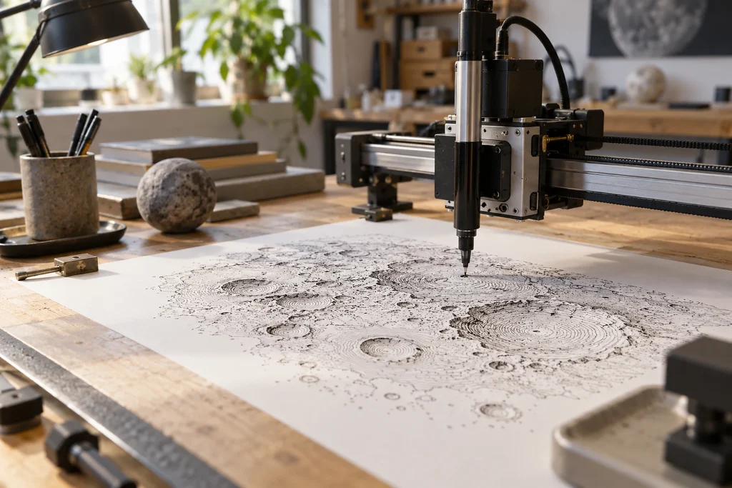
Sebastian Lague developed a special plotter to visualize the Moon’s surface with drawings showing its relief rather than ordinary photographs. The algorithm processes crater and elevation maps of the Moon and converts them into vector drawings.
- The plotter, powered by Arduino and stepper motors, was developed through different design experiments.
- A moving arm was used first, followed by a linear mechanism, to lift the pen.
- In addition to the Moon, the system was used to draw surface maps of Mars and Earth.
Creating the contour maps at the heart of the project and turning the idea into a working setup required extensive work. The report also drew attention to a multicolor delta plotter.
Why it matters
This project enables map data to be experienced in a different way by transforming elevation data from information viewed only on a screen into a physical surface drawing. The main technical significance lies in adapting the software, electronics, and motion systems together so that the vectors generated by the algorithm can be applied by a mechanical setup. Developing the design with different mechanisms shows that, in similar production efforts, the result depends not only on the data but also on the choice of hardware controlling the pen. Using the same approach for maps of the Moon, Mars, and Earth demonstrates that the method is not specific to a single celestial body. By contrast, which details in the maps are transferred to the drawing and the extent to which this transformation alters the surface form remain among the open questions.
Background
Moon is not a new name in the FikirPilot archive: we published 3 reports mentioning this name in the last 90 days; the most recent was dated October 3, 2026.